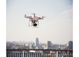
Researchers from the Nanyang Technological University (NTU) are studying ways to let hundreds of unmanned aerial vehicles, commonly known as drones, fly safely in Singapore’s urban airspace, under an aerial traffic management system. This is due to the increasing use of drones for commercial and government use, which is expected to continue growing. The research aims to implement designated air-blocks and lanes for drones in the air, similar to how cars on roads have traffic lights.
“This new traffic management project will test some of the new concepts developed with the aim of achieving safe and efficient drone traffic in our urban airways,” said Professor Low Kin Huat from NTU’s School of Mechanical and Aerospace Engineering. It includes geofencing, where virtual fences are set up around restricted areas so drones cannot fly into them; and collision detection, which will allow drones to detect and avoid other drones flying near them.
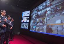
Another idea being tested is the setting up of control stations across the island which can track the number drones in the air, their traffic flow, speed and how far apart they are from one another.
The four-year research program is led by NTU’s Air Traffic Management Research Institute, a joint research centre with the Civil Aviation Authority of Singapore (CAAS). The research is currently in its first phase, which includes computer simulations and modelling. Later phases of the program will include real-world tests.


