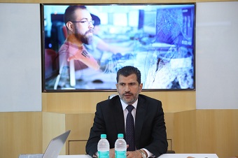
ESRI India, the global leader in geographic information systems (GIS) recently launched its unique innovation hub at its headquarters in Noida to enable customers a one stop destination for explaining ESRI’s solutions. The innovation hub brings together all research and development work with advanced technologies, including sensor monitoring, big data and IoT. The team at the innovation hub also works very closely with ESRI India Partner Ecosystem and helps them in developing their concepts and solutions into practical user experience.
ESRI India President Mr Agendra Kumar said that the mission of the innovation hub was to provide innovative solutions with technical leadership and expertise in smart cities, disaster management, State GIS utilities and homeland security. The entire process involves drone imagery, aerial photography, remote sensing, global positioning system and geospatial technology. This provides accessible, up-to-date, authoritative geospatial data and value-added geospatial services based on the best geosciences.
During the launch of the innovation hub, ESRI India’s Vice President Mr Vijay Kumar’s team presented the varied solutions that were currently being carried out in the country. Special demonstrations involving Bhopal and Bhubaneswar were displayed at the launch.
Solution Scenarios were also showcased to demonstrate how city utilities can benefit using GIS for the urban areas.
Mr Kumar demonstrated how using an integrated GIS platform, city surveillance & security officers can access seamless information about resources, plan their activities, organize debriefing, control crowds during events, keep officers coordinated with real-time situational awareness, and perform tactical operations smoothly to ensure Safe Cities.
Mr Agendra Kumar said that ESRI India currently has 5000 customers and considering the scope of the technology they offer, most of the customers come from the government sector. He said it is encouraging that the government sector is now very receptive to technology that would make their target of achieving the safe cities goal easier. The technology is extremely effective in areas such as utilities including water and power and is also being used for leveraging sensors & IoT for air quality monitoring, analytics & planning. Via the technology it is possible to identify the prime source of air pollution via methods like:
⦁ Air pollution hotspot identification
⦁ Managing Air Quality Information
⦁ Addressing Ambient Air Pollution at particular location
⦁ How vehicular air pollution affects human health
⦁ Location intelligence citizen app to display the current air quality index alert on the current location & into geo-fence area.


