Feeds from surveillance cameras play a key role in tracing and identifying individuals and vehicles during investigations. But locating cameras in a given location after the occurrence of a crime or accident often causes delay in the investigation.
Now, the Coimbatore City Police are in the process of cutting down this delay by geotagging all the surveillance cameras, mainly road facing ones, within their jurisdiction. The exercise is expected to cover a whopping 23,000-plus surveillance cameras in the city. According to City Police Commissioner V. Balakrishnan, the exercise is to plot all the cameras in the geographic information system (GIS) map.
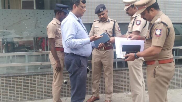
Personnel attached to all the 18 law and order police stations are engaged in the work. They collect longitude and latitude of the surveillance cameras installed by the police, government establishments, shops, offices, residential associations, other private establishments and individuals for security purposes.
Police personnel will send the location coordinates to the technical team of the city police that will carry out the geotagging work. The technical team will assign a unique identity number for each camera. After the completion of the exercise, the police will have easy access to check availability of surveillance cameras in a particular location.
Under the leadership of Mr. Balakrishnan, all the police stations have increased the number of surveillance cameras in their jurisdictions with the support of traders and residents welfare associations. The stations also set up mini control rooms for such networks.
K. Shanmugam, Deputy Commissioner of Police (Coimbatore South), said the geotagged data of cameras will remain with the police and it will not be available on any public domain.


